Radar Reflectivity Legend

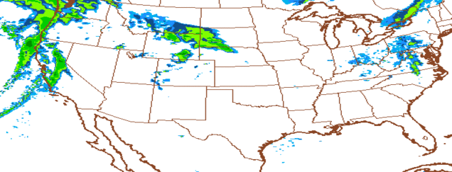
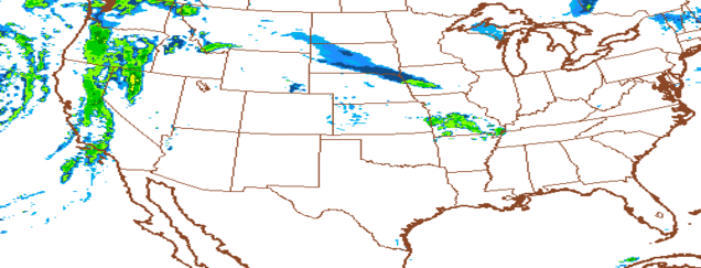
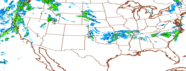
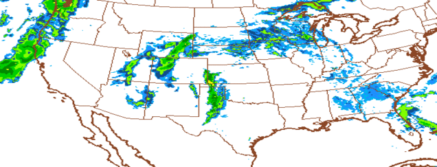
National Radar - Last Hour

Daily Weather Update Updated Tue Jun 18, 2013 5:22 p.m. During the next 24 hours, the cornbelt and Great Lakes will stay dry. The Southeast will have some thunderstorms. Also a complex of thunderstorms may develop in western Kansas, western Oklahoma, and the Texas Panhandle. Heavy rain and storms are expected in the northern Rockies. Click on the 24 hour rainfall forecast tab to see liquid amounts expected to fall.

Tue Jun 18 8:00 pm
Tue Jun 18 11:00 pm
Wed Jun 19 2:00 am
Wed Jun 19 5:00 am
Wed Jun 19 8:00 am
Wed Jun 19 11:00 am
Wed Jun 19 2:00 pm
Wed Jun 19 5:00 pm
Wed Jun 19 8:00 pm
Wed Jun 19 11:00 pm
Thu Jun 20 2:00 am
Thu Jun 20 5:00 am
Thu Jun 20 8:00 am
Thu Jun 20 2:00 pm
Thu Jun 20 8:00 pm
Fri Jun 21 2:00 am
Fri Jun 21 8:00 am
Fri Jun 21 2:00 pm
Fri Jun 21 8:00 pm
Sat Jun 22 2:00 am
Sat Jun 22 8:00 am

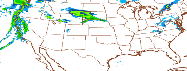
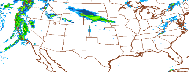
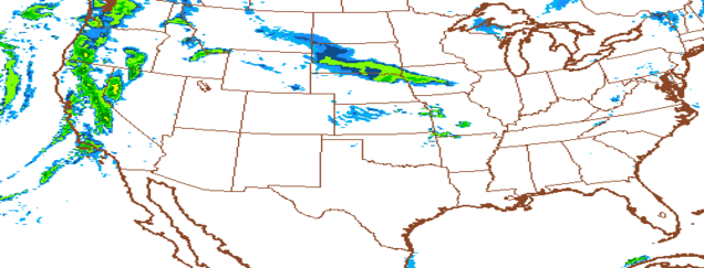
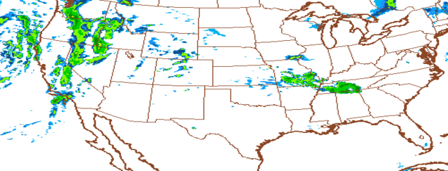
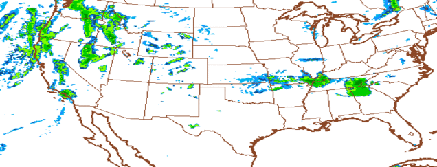
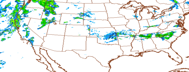
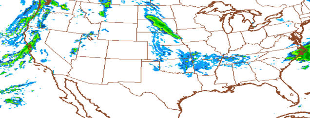
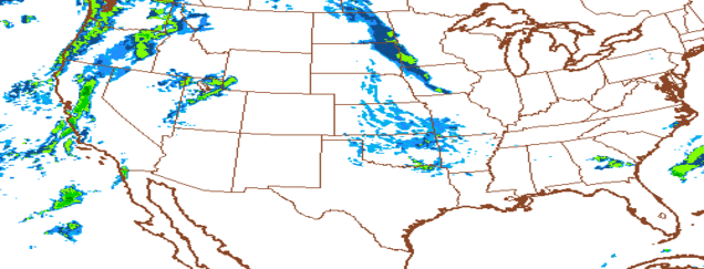
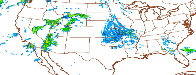
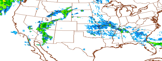
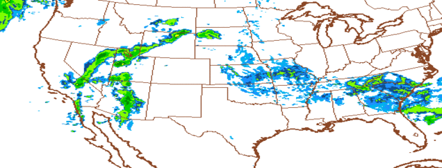
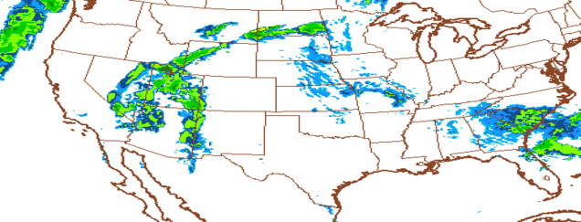
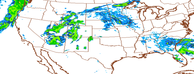
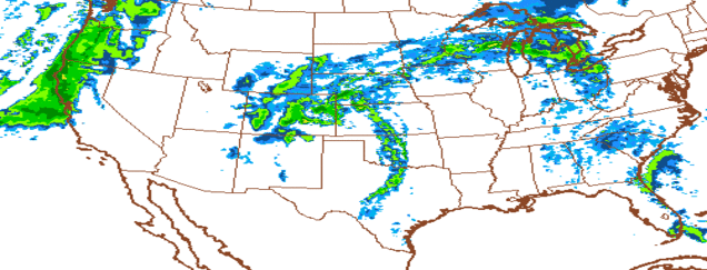
Radar Forecast - Next 84 Hours

Rainfall Forecast Discussion Updated Tue Jun 18, 2013 5:27 p.m. Over the next five days, very heavy rain, over two inches, may fall from the northern Rockies into North Dakota into Minnesota and northwestern Wisconsin. Much of the cornbelt will have less than one-half inch of rain during the next five days. Also, the Southeast could see some heavy rain. If you have any questions, go to the about tab and ask. I'll respond as soon as I can. Click on the 5 day rainfall forecast tab to see the amount of moisture expected.


Temperature Forecast - Next 48 Hours

Wind Forecast - Next 48 Hours

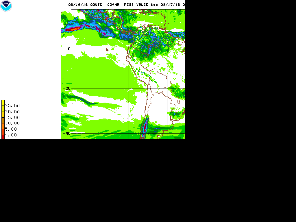
Precipitation Potential - Next 48 Hours

Select Location From Map
Search by Address